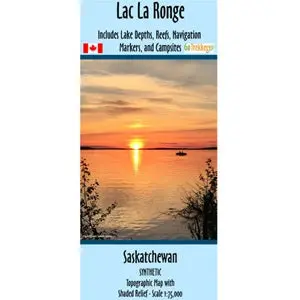
Sale!

Saskatchewan River Navigational Chart Set

Original price was: $18.46.Current price is: $12.31.

Quantity
SKU: N/A Category: Brand:

Description

The maps of the North and South Saskatchewan River all have shaded relief and a scale of 1:100,000.

These maps show river access points, campgrounds, recreation areas, and historical points of interest. 

The maps are printed on synthetic/waterproof paper and comes folded in a protective plastic sleeve.

Additional information

Section of River

South Saskatchewan River 4 (Lake Diefenbaker/ Gardiner Dam to Saskatoon), South Saskatchewan River 6 (Batoche to Saskatchewan Forks), North Saskatchewan River 1 (Ramparts Creek to Nordegg Bridge), North Saskatchewan River 2 (Nordegg Bridge to Rocky Mountain House), North Saskatchewan River 3 (Rocky Mountain House to Drayton Valley), North Saskatchewan River 4 (Drayton Valley to Devon), North Saskatchewan River 5 (Devon through Edmonton), North Saskatchewan River 6 (Edmonton to Highway 855), North Saskatchewan River 7 (Highway 855 to Highway 887), North Saskatchewan River 8 (Highway 887 to Highway 17/ SK-AB Border), North Saskatchewan River 9 (Highway 17 to Pine Island), North Saskatchewan River 10 (Pine Island to North Battleford), North Saskatchewan River 11 (North Battleford to Borden Bridge), North Saskatchewan River 12 (Borden Bridge to Wingard Ferry), North Saskatchewan River 13 (Wingard Ferry to Saskatchewan Forks)

Reviews

There are no reviews yet.

Be the first to review “Saskatchewan River Navigational Chart Set”

Your email address will not be published. Required fields are marked *